Remote sensing technologies have revolutionized the way we collect and analyze data about the Earth’s surface and atmosphere. By using various sensors and platforms to gather information from a distance, these technologies offer valuable insights across multiple fields, including environmental monitoring, agriculture, urban planning, and disaster management. This article explores the principles of remote sensing, its types, applications, benefits, challenges, and future trends.

What is Remote Sensing?
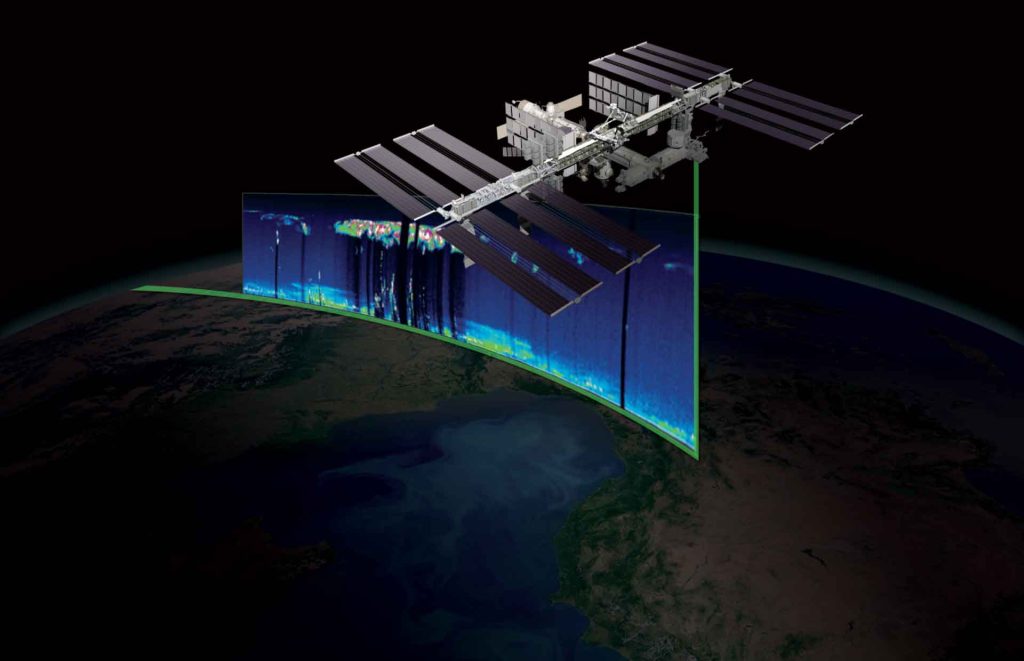
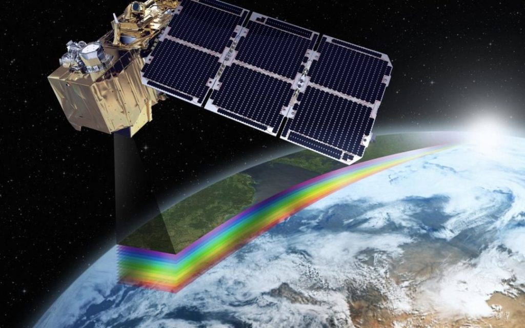
Remote sensing refers to the acquisition of information about an object or area from a distance, typically using satellite or airborne sensors. These sensors collect data in the form of electromagnetic radiation, which is then processed to generate images and insights about the Earth’s surface and atmosphere. Remote sensing technologies are instrumental in monitoring and analyzing spatial phenomena and changes over time.
Types of Remote Sensing Technologies
- Satellite Remote Sensing:
- Earth Observation Satellites: These satellites orbit the Earth and capture data across various wavelengths, including visible, infrared, and microwave spectra. Examples include the Landsat series, Sentinel satellites, and commercial satellites like those from Planet Labs.
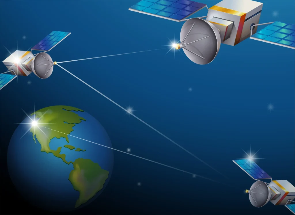
- Geostationary Satellites: Positioned at a fixed point above the equator, these satellites provide continuous observation of the same area, which is useful for weather monitoring and climate studies.
- Airborne Remote Sensing:
- Aircraft-Based Sensors: Aircraft equipped with remote sensing instruments, such as cameras and LIDAR (Light Detection and Ranging), collect high-resolution data over specific areas. This method is often used for detailed surveys and mapping.
- Drones (UAVs): Unmanned Aerial Vehicles (UAVs) or drones are increasingly used for remote sensing due to their flexibility, affordability, and ability to capture high-resolution imagery and data at a lower altitude.
- Ground-Based Remote Sensing:
- Ground Stations: These stations collect data directly from sensors mounted on the ground, such as weather stations and soil sensors. Ground-based remote sensing is used to complement satellite and airborne data for more localized analysis.
- Mobile Sensors: Vehicles equipped with remote sensing technologies, such as LIDAR and multispectral cameras, can capture data while moving across different terrains, providing valuable information for mapping and surveying.
Applications of Remote Sensing Technologies
- Environmental Monitoring:
- Climate Change: Remote sensing technologies are used to track changes in climate patterns, such as temperature variations, sea level rise, and ice melting. Satellite data provides critical information for climate models and research.
- Ecosystem Management: Monitoring vegetation health, deforestation, and land cover changes helps manage and conserve ecosystems. Remote sensing data supports efforts to protect biodiversity and manage natural resources.
- Agriculture:
- Precision Farming: Remote sensing technologies enable precision agriculture by providing detailed information on crop health, soil conditions, and water availability. This data helps optimize farming practices and improve crop yields.
- Pest and Disease Monitoring: Detecting early signs of pests and diseases through remote sensing allows farmers to take timely action, reducing the impact on crops and minimizing the use of pesticides.
- Urban Planning and Development:
- Land Use Mapping: Remote sensing data is used to create land use maps and analyze urban growth patterns. This information aids in planning and managing urban expansion, infrastructure development, and transportation networks.
- Disaster Management: In the event of natural disasters, such as earthquakes, floods, and hurricanes, remote sensing technologies provide real-time data for damage assessment, emergency response, and recovery efforts.
- Natural Resource Management:
- Mineral Exploration: Remote sensing helps identify and assess mineral deposits by analyzing surface features and geological formations. This technology supports exploration and extraction activities in the mining industry.
- Water Resource Management: Monitoring water bodies, such as rivers, lakes, and reservoirs, provides information on water quality, availability, and distribution. This data is essential for managing water resources and addressing issues related to scarcity and pollution.

Benefits of Remote Sensing Technologies
- Wide Area Coverage:
- Large-Scale Monitoring: Remote sensing technologies can cover vast areas and provide comprehensive data for large-scale monitoring and analysis. This capability is valuable for studying global and regional phenomena.
- Continuous Observation: Satellite and airborne sensors offer continuous observation, allowing for the tracking of changes over time and the detection of trends and patterns.
- High Resolution and Accuracy:
- Detailed Data: Advanced sensors provide high-resolution imagery and data, enabling detailed analysis and accurate mapping of features and conditions. This precision is crucial for applications requiring fine-scale information.
- Real-Time Data: Many remote sensing technologies offer real-time data collection, facilitating timely decision-making and rapid response in critical situations.
- Cost-Effectiveness:
- Reduced Field Surveys: Remote sensing reduces the need for extensive field surveys and on-site data collection, saving time and resources. This cost-effectiveness is particularly beneficial for large-scale and remote areas.
- Accessibility: Remote sensing data is increasingly accessible through various platforms and services, making it easier for organizations and researchers to obtain and utilize valuable information.
Challenges and Considerations
- Data Processing and Analysis:
- Complexity: Processing and analyzing remote sensing data can be complex and require specialized software and expertise. Handling large volumes of data and extracting meaningful insights can be challenging.
- Data Integration: Integrating remote sensing data with other sources, such as ground-based observations and historical records, can be difficult. Ensuring data compatibility and coherence is essential for accurate analysis.
- Cost and Accessibility:
- High Costs: While remote sensing technologies offer many benefits, the initial costs of acquiring and maintaining advanced sensors and equipment can be high. This can be a barrier for some organizations and researchers.
- Data Accessibility: Access to remote sensing data may be limited or restricted, particularly for high-resolution or commercial data. Ensuring open access and data sharing is important for maximizing the benefits of remote sensing technologies.
- Data Privacy and Security:
- Privacy Concerns: Remote sensing technologies can raise privacy concerns, particularly when capturing detailed imagery of populated areas. Ensuring data protection and addressing privacy issues are important considerations.
- Security Risks: Securing remote sensing data from unauthorized access and misuse is essential. Implementing robust security measures and protocols helps protect sensitive information and maintain data integrity.
Future Trends in Remote Sensing Technologies
- Advancements in Sensor Technology:
- Improved Resolution: Future developments in sensor technology are expected to enhance resolution and accuracy, providing even more detailed and precise data for various applications.
- Miniaturization: Advances in miniaturization will enable the development of smaller and more affordable sensors, including those for drones and other portable platforms.
- Integration with Artificial Intelligence (AI):
- Automated Analysis: AI and machine learning algorithms will increasingly be used to automate the analysis of remote sensing data, improving efficiency and accuracy in detecting patterns and anomalies.
- Predictive Modeling: AI-driven predictive models will enhance the ability to forecast and respond to environmental and spatial changes, supporting proactive decision-making.
- Increased Collaboration and Data Sharing:
- Global Partnerships: Collaboration between governments, organizations, and research institutions will facilitate the sharing of remote sensing data and resources, promoting global efforts in environmental monitoring and disaster management.
- Open Data Initiatives: Expanding open data initiatives and platforms will enhance accessibility to remote sensing data, supporting research and applications across various fields.

Conclusion
Remote sensing technologies have become an essential tool for collecting and analyzing data about the Earth’s surface and atmosphere. By providing valuable insights across multiple fields, including environmental monitoring, agriculture, urban planning, and disaster management, these technologies contribute to informed decision-making and improved management of natural resources. Despite challenges related to data processing, cost, and privacy, ongoing advancements and future trends promise to further enhance the capabilities and applications of remote sensing. As technology continues to evolve, remote sensing will play a pivotal role in addressing global challenges and shaping the future of data collection and analysis.


